Col d'Izoard - France
The Col d'Izoard is a climb in the Southern French Alps between the Brianconnaise and Queyras mountain regions, connecting the Cerveyrette gorge in the north with the Casse Deserte in the south. Both sides are very different and the Casse Deserte is the more famous side to climb the Col d'Izoard. The gorge of the Cerveyrette river does no need to hide though. The Col d'Izoard is bucket list stuff with truly amazing mountains.
From Briancon in the north, there are 25 turns of which 13 are classed as "switchbacks", nearly all are in the upper third of the climb. The lower and middle sections are nearly entirely straight.
The Col d’Izoard is special for its legendary status in the Tour de France, the dramatic, moon-like “Casse Déserte” landscape on the southern slope, and its stunning high-alpine scenery. The pass was built by the military and features unique elements such as Napoleonic shelters. It is a challenging yet manageable and iconic Alpine climb with a rich cycling heritage. First used in the Tour de France in 1922, it has appeared more than 35 times to date—and counting.
Col d'Izoard 2,361m - Northern ascend from Briancon
The Col d'Izoard is 18km long and climbs 1070m in altitude. This is a lovely climb in magical surroundings, not too hard and not too easy neither. This is a Cat 1 climb with an average gradient of 6.1% but which is ticking up temporarily to 14% on the upper slopes. This route is one for the climbing purists, it traverses a number of very different mountain environments and is truly amazing. These include a gorge, wooded areas and barren slopes - plus the moonscape of the Casse Deserte on the southern side.
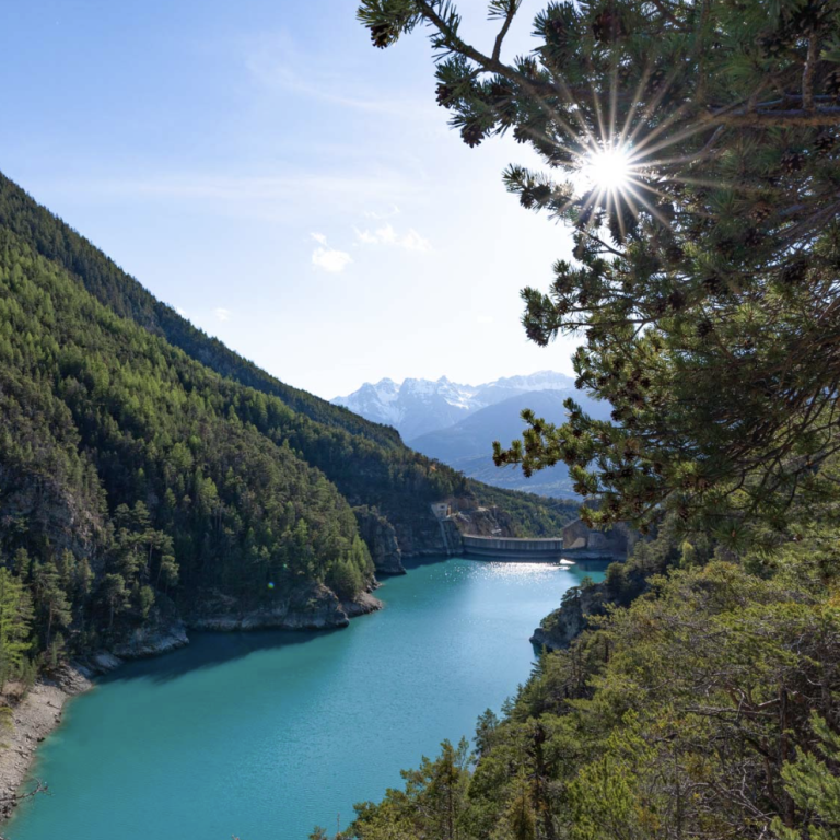
Along the Cerveyrette river and gorge
Leaving Briançon on the D902, the road soon joins the Cerveyrette River as the valley gradually tightens into a gorge past Lac Pont Baldy. It remains narrow and opens out only just before reaching Cervières. This section is about 8 km long, with an altitude gain of 330 m. It’s a delightful way to warm up the legs and get going.
Into the mountains
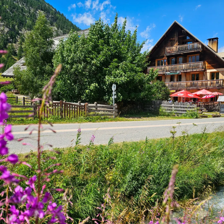
After Cervières, the road turns sharply to the right and climbs across meadows to Le Laus, where the Auberge l’Arpelin invites you to stop for a coffee and a slice of cake. Beyond Le Laus, the route continues straight across open fields and then through forest until it reaches the switchback section at 12.6 km, having gained 666 m of elevation. This middle section is 4.6 km long and climbs 336 m, making it considerably harder than the road to Cervières. After Cervières, the wide valley gradually tightens at the Gorge du Col d’Izoard. With the start of the switchbacks, the character of the climb changes once again.
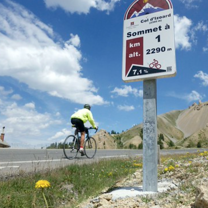
Switchbacks to the top at 2361m
The final 5 km, with 400 m of climbing, include 23 bends. Not all are classed as true switchbacks, as some are quite wide, but for the sake of this fabulous road, they count nonetheless. Once you leave the trees with 2 km to go, the magic of the mountains truly sets in. Barren, rocky peaks tower above, with cliffs, scree fields, and scattered boulders. After passing the Refuge Napoléon, only five switchbacks remain—and they are truly special. After the final bend, almost out of nowhere, the summit appears. This is a ride to savour.
Col d'Izoard from Briancon
Length: 19.2km
Altitude gain: 1178m
Max altitude: 2361m
Average gradient: 6.1%
Max gradient: 11.6%
Route Tip: Apart from a single ascent (see Komoote route here), there is a nice circular ride from Brinancon to the Col d'Izoard and returning via the Durance valley. This is about a 95km loop ride climbing 2220m in the process. Great day out