Kaunertaler Gletscherstrasse - Austria
What makes this ride so special it that it takes you on a time ride through evolution.
The Kaunertaler Gletschstrasse is located in the state of Tyrol in Austria, close to the Italian border.
For centuries, the upper Kaunertal was a remote alpine landscape shaped by farming, grazing and seasonal pastures. The surrounding high mountains were difficult to access except on foot, and the valley remained largely isolated from the outside world. This changed in the 1960s with the construction of the Kaunertaler Gletscherstraße, or Kaunertal Glacier Road, which opened the upper valley to vehicles. Its development was closely connected with the expansion of hydroelectric infrastructure and the growth of alpine tourism in Tyrol following the Second World War. The road provided access to the Weißseeferner glacier and helped establish the Kaunertal Glacier ski area.
Today, the road climbs for around 39 kilometres from the Kaunertal Valley to approximately 2,749 metres, transforming what was once an inaccessible mountain landscape into one of Austria's most spectacular high-alpine cycling routes. It is a road that seemingly leads nowhere, yet the journey itself is the destination. From the lush valley floor, surrounded by green meadows and the sound of cowbells, the route gradually carries you towards a stark, almost moon-like landscape of rock, snow and ice. It feels like riding through the evolution of time, watching entire ecosystems change as the altitude increases.
Ride into rock and ice
The climb begins deep in the Kaunertal, where the road rises steadily through green pastures and alongside the reservoir. As the altitude increases, trees and vegetation gradually disappear, the air becomes noticeably cooler and the landscape opens into increasingly dramatic mountain terrain. The road continues relentlessly upwards across exposed slopes, with the valley falling further away below. Traffic is minimal, adding to the feeling of isolation and making the changing landscape the main focus of the ride.
The route can be divided into three distinct sections, each offering its own character as the environment changes with altitude. What begins as a traditional alpine valley eventually becomes a barren high-mountain world, where rock and ice dominate the landscape. The narrow, slightly rugged road provides a constant challenge, while the length of the ascent and the increasing altitude make pacing essential.
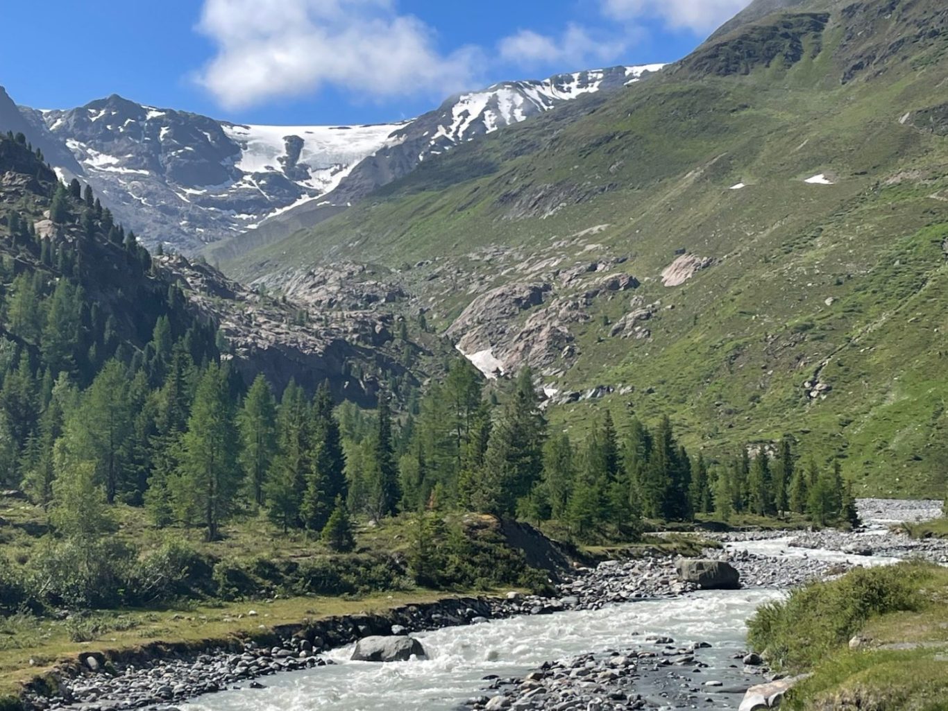
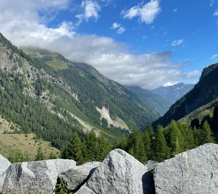
Start of the push into the upper part of the valley
Switchbacks, ramps, water, rock and ice awaits.
Kaunertaler Gletschstrasse from Prutz - 2749m
For me, this was my first experience of such a long and high-altitude climb, and it taught me a great deal about riding in the mountains. Above all, I discovered the importance of pacing—resisting the temptation to push too hard early on and allowing the climb to unfold gradually. More importantly, the ride revealed reserves of endurance that I didn't know I had.
Reaching the summit at more than 2,700 metres is a rewarding conclusion to an extraordinary journey. The cold air, silence and vast views create the sensation of having ridden to the very edge of the Alps. Few climbs offer such a dramatic transformation in scenery over a single road, from meadows and cowbells at the bottom to a stark world of rock and ice at the top. The Kaunertaler Gletscherstraße is therefore more than simply a difficult climb—it is a journey through changing landscapes, altitude and time, and an unforgettable experience for any cyclist drawn to the high mountains.
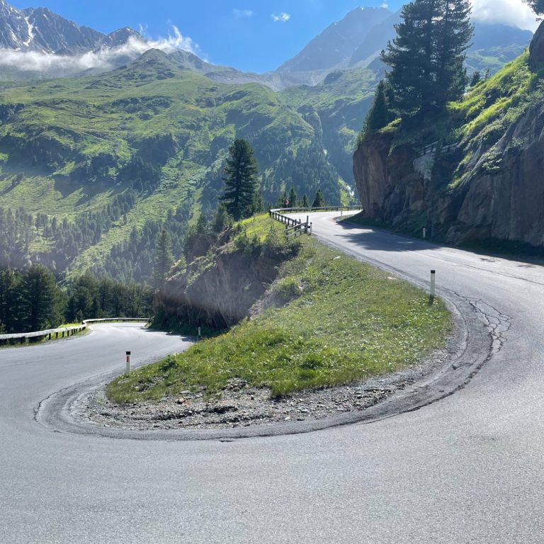
Valley and water
The first section follows the lush valley, rising gently past the toll station towards the hydroelectric dam, where the first switchbacks begin. This is a lovely section of road, especially in the morning when th eair is still cool and there is little traffic.
At the lake, the road then continues along a flatter section beside the reservoir and deeper into the valley, offering a chance to recover. Here, it is narrow and slightly twisty, nestled between the lake and the hillside, with water all around—small waterfalls cascading down the slopes and the reservoir stretching alongside the road.
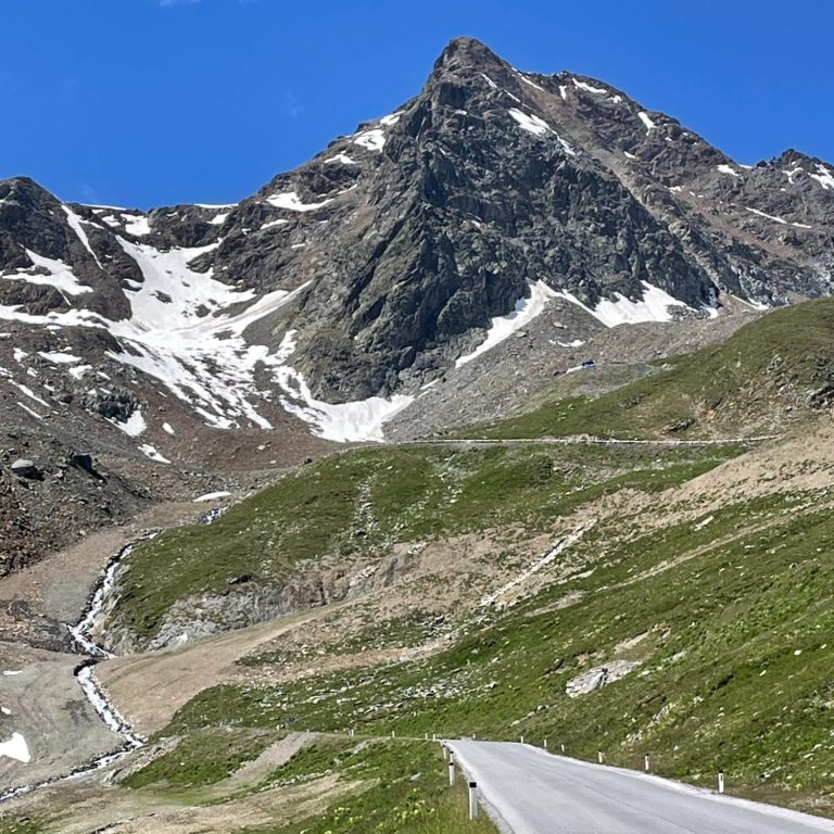
Amazing switchbacks
Once you leave the lake, the climbing begins in earnest. At the end of the valley, after passing through alpine meadows, a series of tight switchbacks lifts the road high above the lake. This is a particularly beautiful part of the climb.
Each bend is numbered and marked with its altitude, along with information about the vegetation zone and ecosystem you are passing through—a welcome distraction from the effort.
The switchbacks come in quick succession and are a real pleasure to ride.
Once the hairpins are left behind, the ride heads deep into the valley along long, steep ramps.
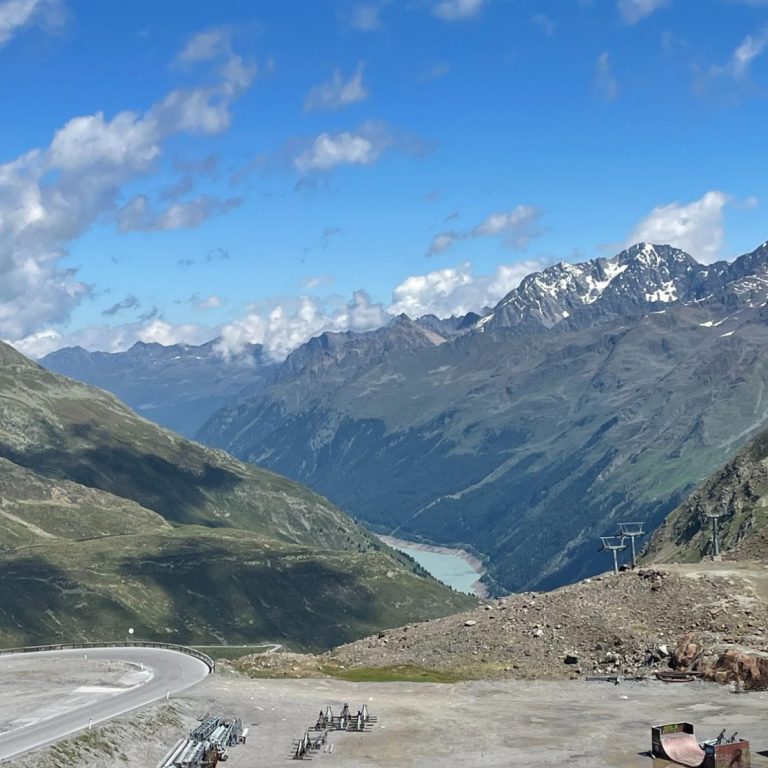
Rock-Ice-Water
As this was once a glacier valley, the vegetation quickly recedes and the landscape becomes increasingly rocky. The gradients are typically Austrian—steep. The road was built to serve a ski area, and ski lifts dotted along the route provide useful markers of how far remains to the summit.
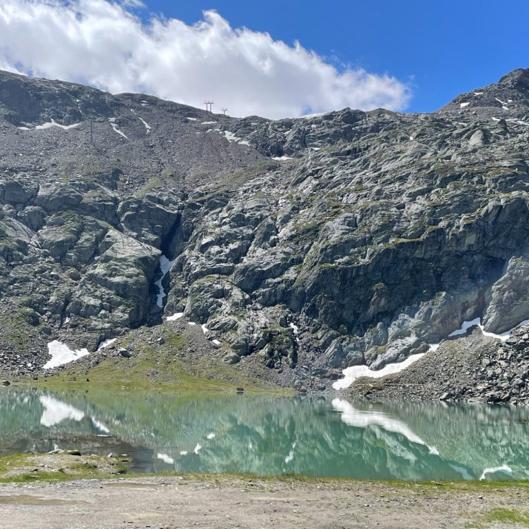
A glacial lake offers a welcome excuse to stop before the final push to the top, where the scenery becomes ever more dramatic.
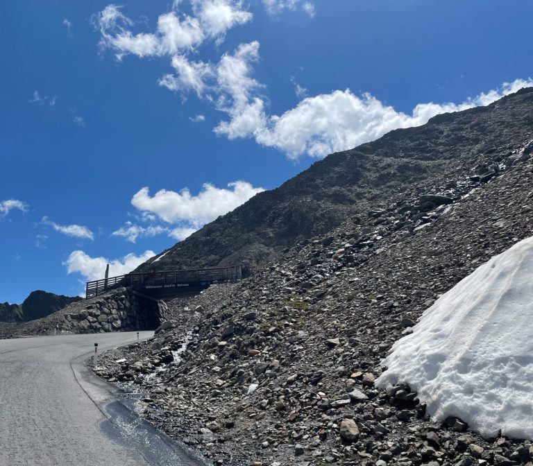
The road winds its way through scree fields and eventually ends at a cable car station, meaning the descent follows the same route back down.
Seeing the glaciers of the Alps in such retreat is saddening, and it is worth visiting them while we still can.
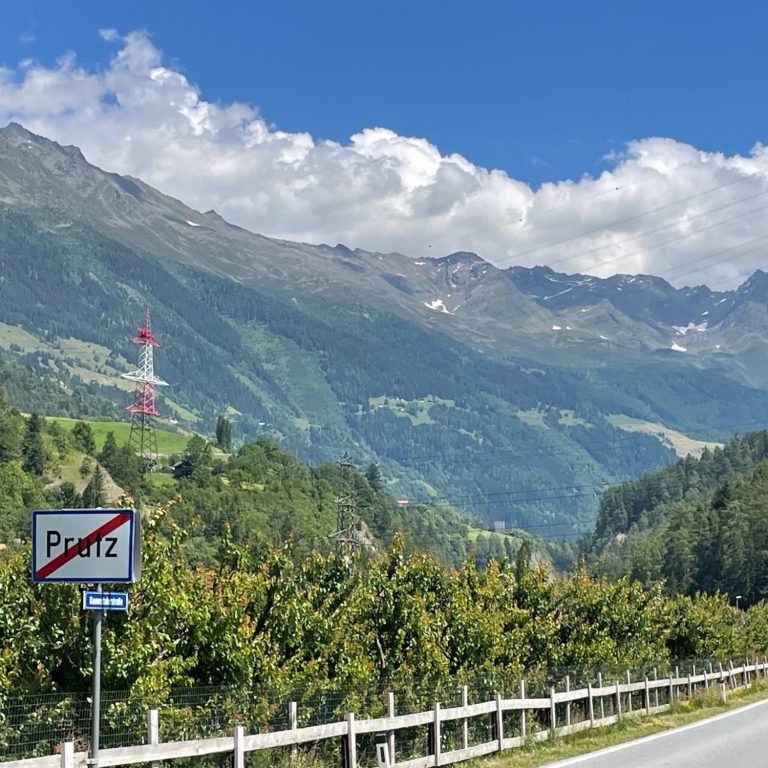
Kaunertal from Prutz
Length: 38.6km
Altitude gain: 1888 m
Max altitude: 2749 m
Average gradient: 4.9%
Max gradient: 12.3%
Route Tip: The Kaunertaler Glacier is a dead end and starting from Prutz. There really is only one way up and down, altogether just over 80km, 2090m climbing.
There are a couple of smaller climbs around Prutz and specifically the Piller Höhe (1570m) would be worth to tackle. From Prutz, this is a 10km climb covering 736m altitude gain but this is no slouch with about 4km above 10%.