Col du Mont Cenis & Haute Maurienne Valley - France
The Col du Mont Cenis is a historic pass that has faded into the background but provides a very athmospheric ride of contrasting landscapes.
The Col du Mont Cenis is one of the great historic passes of the Alps, linking the Maurienne Valley in France with the Susa Valley in Italy. At 2,083 m, it has been used for thousands of years and, unlike many higher Alpine crossings, offered a relatively accessible route between northern Europe and the Italian peninsula.
The pass was already known in Roman times (it is possible that Hannibal led his army to Italy over the Col du Mont Cenis to defeat the Romans in a number of battles during the Second Punic War), although the nearby Montgenèvre was initially the more important Roman crossing. Over the centuries, however, Mont Cenis became one of the principal routes through the western Alps for merchants, pilgrims, armies, and rulers travelling between France and Italy.
During the Middle Ages, the pass grew in importance as trade expanded between northern Europe and the wealthy Italian city-states. Monasteries and hospices were established to assist travellers crossing the often dangerous mountains, especially during harsh winters. The route was notoriously difficult before the construction of modern roads, with snow, avalanches, and poor weather making the crossing hazardous for much of the year.
The Col du Mont Cenis played a major strategic role during the reign of Napoleon Bonaparte. Recognising its military and political importance, Napoleon ordered the construction of a modern road across the pass between 1803 and 1810. This engineering project transformed Mont Cenis into one of the first truly accessible Alpine roads, capable of supporting artillery and large troop movements. Many sections of the modern route still follow Napoleon’s alignment.
In the 19th century, before the opening of Alpine railway tunnels, Mont Cenis became one of the busiest trans-Alpine crossings in Europe. Stagecoaches, traders, diplomats, and travellers heading towards Italy frequently used the route. For a brief period, the remarkable “Mont Cenis Fell Railway,” an experimental mountain railway, operated across the pass before the opening of the Fréjus Rail Tunnel in 1871 rendered it obsolete.
The landscape of the pass changed dramatically during the 20th century with the construction of the Lac du Mont-Cenis reservoir. The large artificial lake submerged parts of the original plateau, including sections of the historic road and old settlements, giving the pass its modern appearance.
Today, the Col du Mont Cenis remains a place where history is deeply embedded in the landscape. Fortifications, military roads, old hospices, and Napoleonic engineering can still be seen throughout the area, while the broad plateau and lake create one of the most distinctive and atmospheric settings of any Alpine pass.
Col du Mont Cenis 2,083m - Northern ascend from Lanslebourg
The climb from Lanslebourg is only a Category 2 ascent, 9.9 km long with 686 m of elevation gain. However, this ride is not just about the immediate climb to the pass, but also about travelling through the Haute Maurienne Valley, along the Lac du Mont Cenis, and possibly onto the high-altitude plateau beyond the lake towards the Col du Petit Mont Cenis.
The Haute Maurienne Valley is lined with very high mountains, many rising above 3,500 m, creating a truly magnificent backdrop for cycling. Along the way are small climbs and charming Savoyard villages. Beyond the pass lies the lake, set on a vast high-mountain plateau that gives an enormous sense of space.
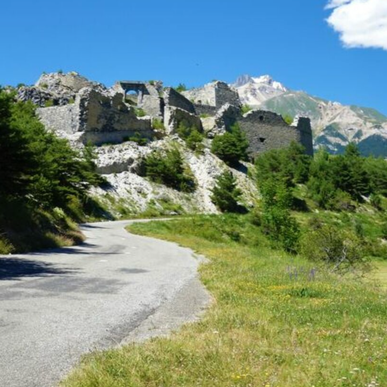
The valley
The valley between Modane at the start and Bonneval-sur-Arc at the far end is just over 40 km long, with an altitude difference of around 700 m. Bonneval-sur-Arc, which sits at the foot of the Col de l’Iseran, is one of the prettiest villages in the Savoy Alps.
The valley is lined with high peaks on both sides, providing a magnificent backdrop for cycling. The first small climb out of Modane, the D215 on the left-hand side of the valley, reaches Aussois after around 5 km. As you gain altitude, the valley opens up and the views become increasingly expansive. The D83 then continues towards Lanslebourg, where the Col de la Madeleine (not the famous one) awaits. Beyond here, the valley becomes increasingly remote and opens into a high-altitude plateau around Bessans, stretching all the way to Bonneval-sur-Arc.
A rewarding extension to a valley ride is the ascent of the southern side of the Col de l’Iseran, adding around 950 m of climbing.
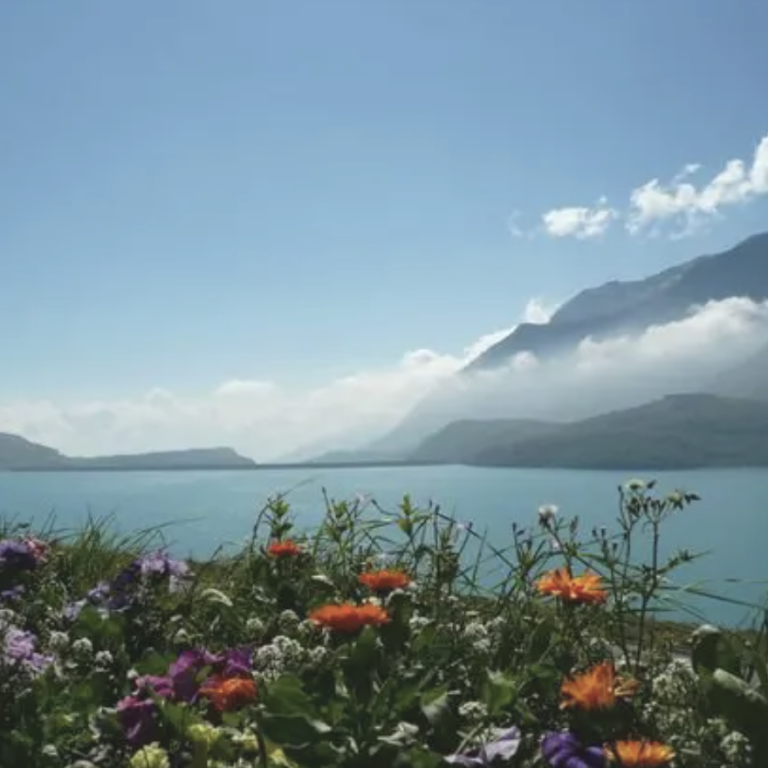
Climbing the pass
Once leaving Lanslebourg, the road to Col de Mont Cenis climbs out of the Haute Maurienne Valley via five switchbacks, rising in steady ramps of between 7% and 9%. The road is wide and wooded, offering occasional views of the Dent Parrachée, which rises to 3,697 m and stands as one of the most iconic summits in the southern part of the Massif de la Vanoise within the Vanoise National Park.
The mountains tower high on all sides and provide extra motivation as you climb. The road then turns inward towards the high plateau leading to the pass and the lake. The gradients remain significant here, though manageable throughout.
Beyond the pass, the lake and the vast expanse surrounding it come into view, inviting you to continue exploring this remarkable area.
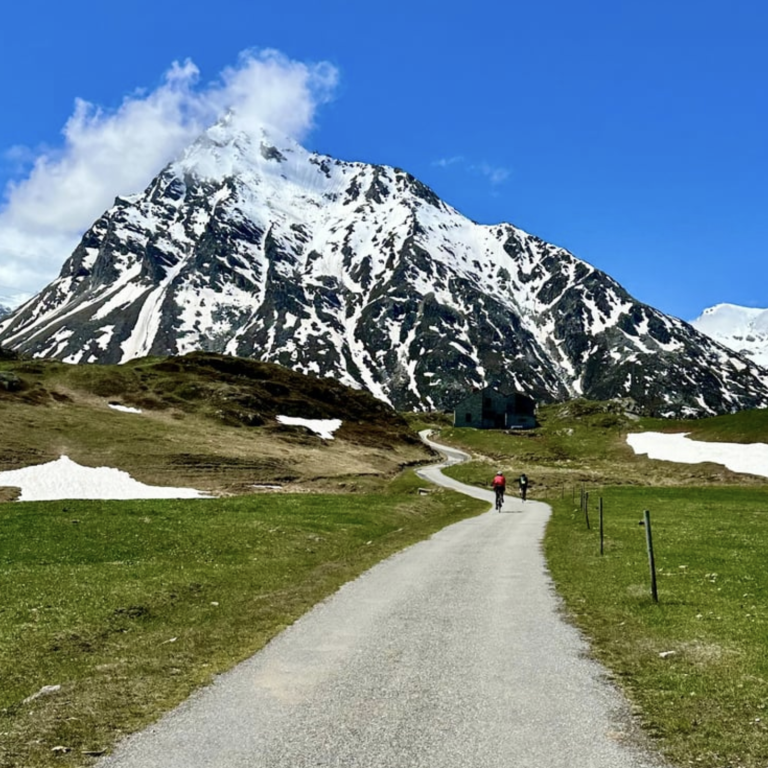
Lake and high altitude plateau
Beyond the Col du Mont Cenis lies the Col du Petit Mont Cenis. After the main pass, a turn-off leads onto a narrow, slightly rugged strip of tarmac climbing towards the Col du Petit Mont Cenis through stunningly beautiful open meadows. The road is mostly uphill, with a series of short, sharp ramps running along a ridge. Marmots are everywhere—this is a magnificent area.
The road is a dead end, so the descent follows the same route back down. The rough surface can make this a little tricky, but that is the price to pay for being fully immersed in nature on a road bike.
This stretch is just over 8 km long and climbs to an altitude of 2,184 m after a short descent from the main road.
Col de Mont Cenis from Lanslebourg
Length: 9.9km
Altitude gain: 686m
Max altitude: 2081m
Average gradient: 6.9%
Max gradient: 13.6%
Route Tip: A ride combining riding the lovely Haute Maurianne valley with the Col de Mont Cenis and the Col de Petit Mont Cenis is around 86 km long and climbs 1,920m.