Grossglockner - Austria
A long and tough road that beats other stalwarts of mountain cycling like the Stelvio in terms of difficulty and determination required.
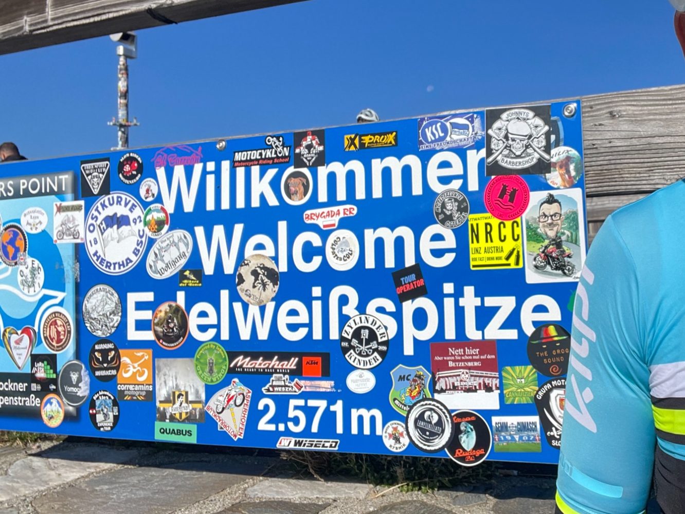
Edelweißspitze - 2571m
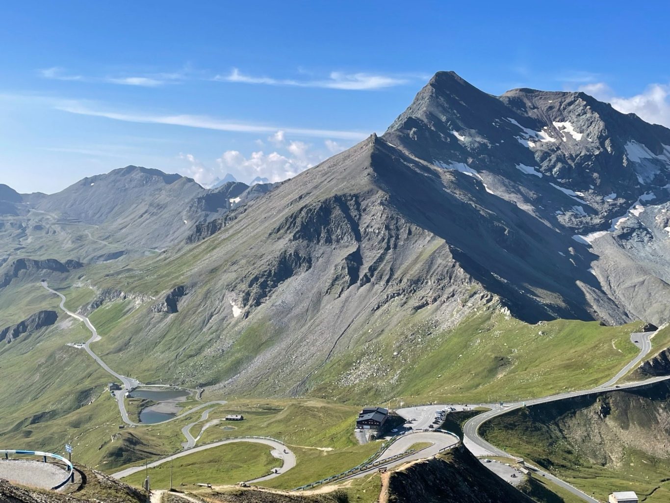
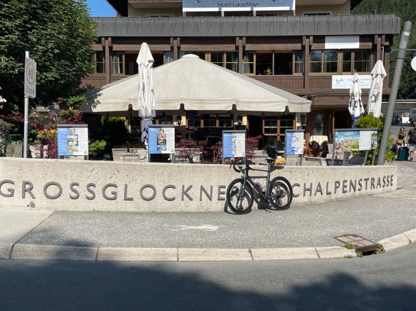
The Grossglockner Hochalpenstrasse is a road that should be on everyone’s list who likes long hard rides up to high alpine passes. This is exactly what it is. The climb to the Edelweißspitze, the highest point of this road is just over 20km long from Fuschl and covers around 1,800 meter elevation gain. It has 13 hairpin bends and prolonged sections of double digit gradient. It ends with six hairpins on cobbles to reach the Edelweißspitze at 2,571 meters altitude. The climb is located between the Austrian states of Salzburg in the north and Carinthia in the south.
High altitude road network
The Grossglockner Hochalpenstrasse is not just one road but a network of roads that crosses the Hohe Tauern mountain range and connects Salzburg state in the north with Kärnten state to the south. The Hochtor at 2,504m is the pass height of this road with a spur road up the Edelweißspitze at 2,571m in the north and the Kaiser Franz Joseph Glacier road at 2,365m in the south.
Hardest climb
What is it like to climb this pass you ask? This is one of the hardest and most challenging roads out there, it makes for a great day out in the saddle though. In terms of toughness, this climb is right up there with the Passo delle Stelvio in Italy and the Col du Galibier in France.
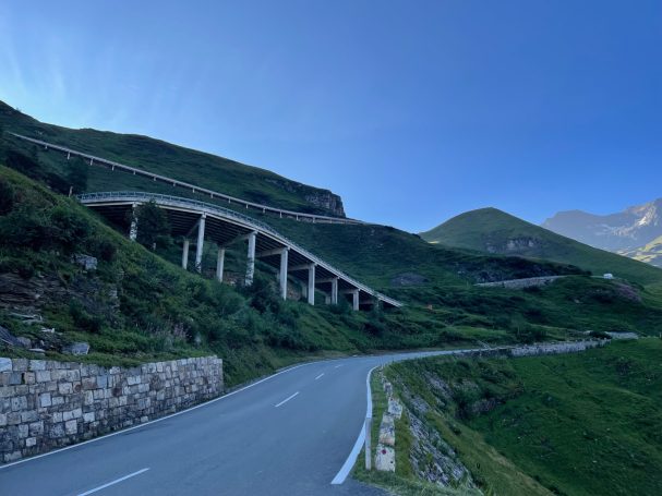
The road is in top notch condition and a dream to ride. It is steep though. From the north, the ride starts at a wide valley floor, tightens into a gorge like valley along a stream (Fuscher Ache) and water falls till it opens again at the toll station at Ferleiten. From Fuschl, this section is just over 7km with 340m of elevation gain. It is a great to warm up for your legs.
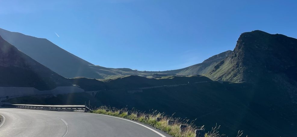
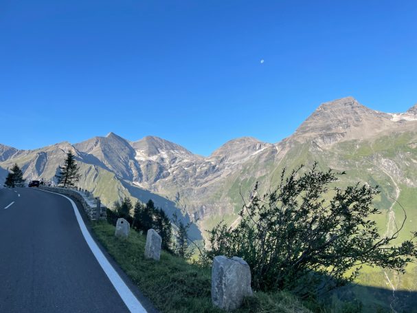
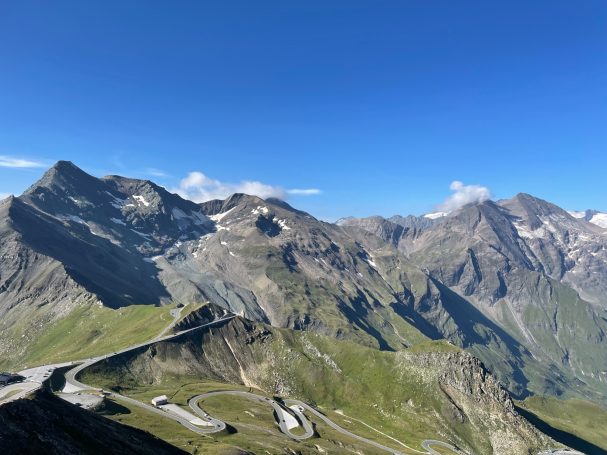
At Ferleiten the ride really starts as the road rises up steeply on the left side up the hillside and continues unrelentingly all the way to the turnoff to the Edelweissspitze. This middle section of 13km and 1250m elevation gain is the heart of the ride at an average gradient of nearly 10%. The relative lack of switchbacks means that there are three very long straight ramps which at times seem endless. On the last push to the Fuschl Tor, the road engineers showed some mercy and have thrown in some switchbacks which makes this just wonderful to ride. All the while, the high mountains of the Hohen Tauern range stay with you on the right side of the valley till the top and offer fabulous views and much needed encouragement. .
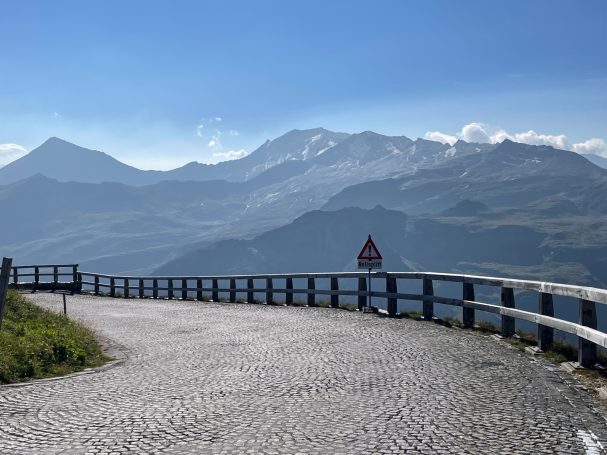
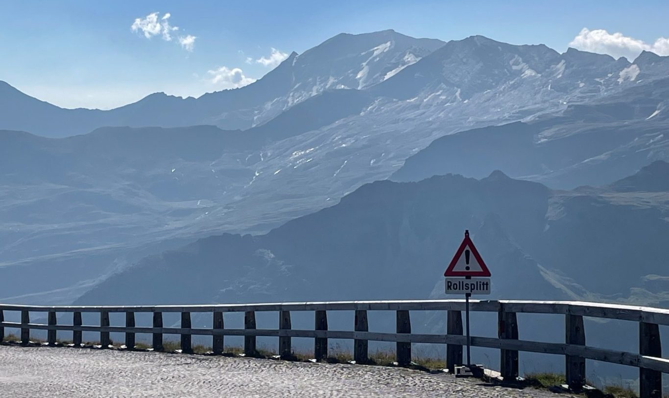
If that would not be energy sapping enough, the last push to the Edelweißspitze is on cobbles. The last 6 switchbacks are only 1.6km long and cover 140m altitude gain, but seem at points to have impossible gradients as you start to feel the altitude and the effort you had put in up to this point. The reward of getting all the way to the top is the most extraordinary panorama in Austria.
Once off the cobbles, the decent is fast due to the long and steep ramps. Lastly, start early as the road gets very busy.
The whole of the Grossglockner Hochalpenstrasse is a fabulous road system high in the mountains.
A little History
The idea of building a road across the Hohe Tauern range dates back to the 19th century and was proposed by the Austrian engineer Franz Wallack. Construction began on 30 August 1930, and the road was officially opened on 3 August 1935. Unlike many other famous Alpine passes, the Grossglockner High Alpine Road was designed from the outset with tourism in mind. As a result, the road is wide, immaculately maintained, and extremely popular.
In terms of racing history, the Grossglockner has appeared several times in the Tour of Austria and on a few occasions in the Giro d’Italia. While it has produced memorable racing moments, its relatively limited racing heritage does not fully reflect the sheer magnificence of the pass itself.
Edelweißspitze from Fuschl
Length: 21.2km
Altitude gain: 1754m
Max altitude: 2571 m
Average gradient: 8.3%
Max gradient: 12.4%
Route Tip: The Grossglockner Hochalpestrasse can be climbed from the north which is the route in this route suggestion. It has quite consistently steep gradient all the way up to the Edelweiß-spitze and is the more popular route. The start can be either from Fuschl or from Bruck which is a bit further out. This route suggetsion goes all the way to the Hochtor which is the pass on this route.
The alternative ride from the south starts in Heiligenblut and has two option: Franz Josph's Höhe with a view over the glacier or an irregular climb via the Hochtor (which is a famous tunnel on route), along an up and down high mountain road to the Edelweißspitze.