Col du Glandon - France
The Col du Glandon is a quiet yet demanding climb made famous by the Tour de France.
The Col du Glandon is a high Alpine mountain pass in the Dauphiné Alps of southeastern France, sitting at 1,924 meters and linking the Maurienne Valley with the Romanche Valley. It lies between the Belledonne and Grandes Rousses mountain ranges, close to the better-known Col de la Croix de Fer. Historically, the route across the mountains was a local rough mountain route rather than a paved road with only local significance connecting local villages in the Oisans and Maurienne regions.
The modern history of the pass began in the late 19th century. The road over the Glandon was officially opened in 1898 as part of France’s effort to improve transportation and economic links through the Alps. Initially, the road ended at the pass itself and was not directly connected to the Croix de Fer road. That connection was completed in 1912, creating a continuous alpine route toward Saint-Jean-de-Maurienne and strengthening trade and tourism in the region.
The pass also played a small but notable role during the Second World War. In the summer of 1944, resistance fighters from the Oisans maquis temporarily repelled German attacks near the summit while Allied forces were preparing the Provence lanings. A memorial near the top commemorates those clashes.
In the second half of the 20th century, the road underwent significant engineering changes. Construction of the Grand’Maison hydroelectric dam between 1978 and 1985 altered part of the southern approach. Today, the Col du Glandon is best known internationally because of cycling. The Tour de France first crossed the pass in 1947, with Polish rider Edward Klabiński leading over the summit. Since then, many famous riders — including Fausto Coppi and Richard Virenque — have attacked its steep upper slopes during Tour stages.
Cyclists regard the Glandon as one of the Alps’ classic “judge” climbs because of its deceptive difficulty: long sections appear moderate, but the final kilometers regularly exceed 10% gradient. It is also a centerpiece of famous amateur events such as La Marmotte and has become part of the mythology of Alpine cycling culture.
Col du Glandon 1,924m - Northern ascend from La Chambre
The Col du Glandon from La Chambre is 21 km long and gains 1,475 m in elevation. What makes the Col du Glandon so special is that the road serves no major purpose. There is only one villages deep in the valley and no ski stations, as there are on the neighbouring Col de la Croix de Fer, while the hydroelectric facilities to the south are accessed from the Oisans Valley. This is a quiet road, simply minding its own business.
It may not be the highest or the longest Alpine climb, but it is undoubtedly one of the most impressive roads to cycle in the French Alps.
As with any climb of this length and elevation gain, it can be divided into distinct sections, which help to break up the effort.
Starting off measured
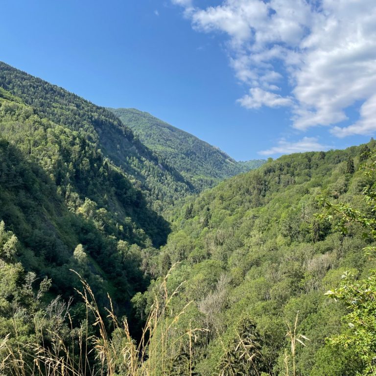
After leaving La Chambre, the first section—around 10 km long with 550 m of elevation gain—leads to Saint-Colomban-des-Villards, which sits at an altitude of aroud 1,000 m. The route pushes steadily deeper into the valley through forests, often climbing high above the valley floor and the Glandon stream below.
There are a few switchbacks along the way, but the gradient remains fairly constant at around 7% for most of this section. It is also the busiest part of the climb until reaching Saint-Colomban-des-Villards, a collection of small settlements and the last village in the valley. Here, the road levels out briefly, offering a welcome opportunity to recover.
To the end of the valley
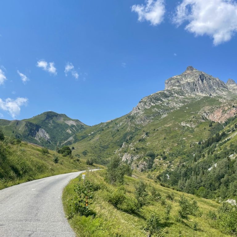
Leaving the last village in the valley, Les Roches, behind, the road winds its way for the next 7 km deep into the valley, gaining around 540 m in elevation to reach an altitude of approximately 1,650 m. The gradient steepens on this section and, after criss-crossing the Glandon stream, the road emerges from the forest onto a broad valley floor, where it climbs in solitude towards the head of the valley.
The road narrows, the mountains rise steeply on either side, and the views become truly spectacular.
Climbing the "wall"
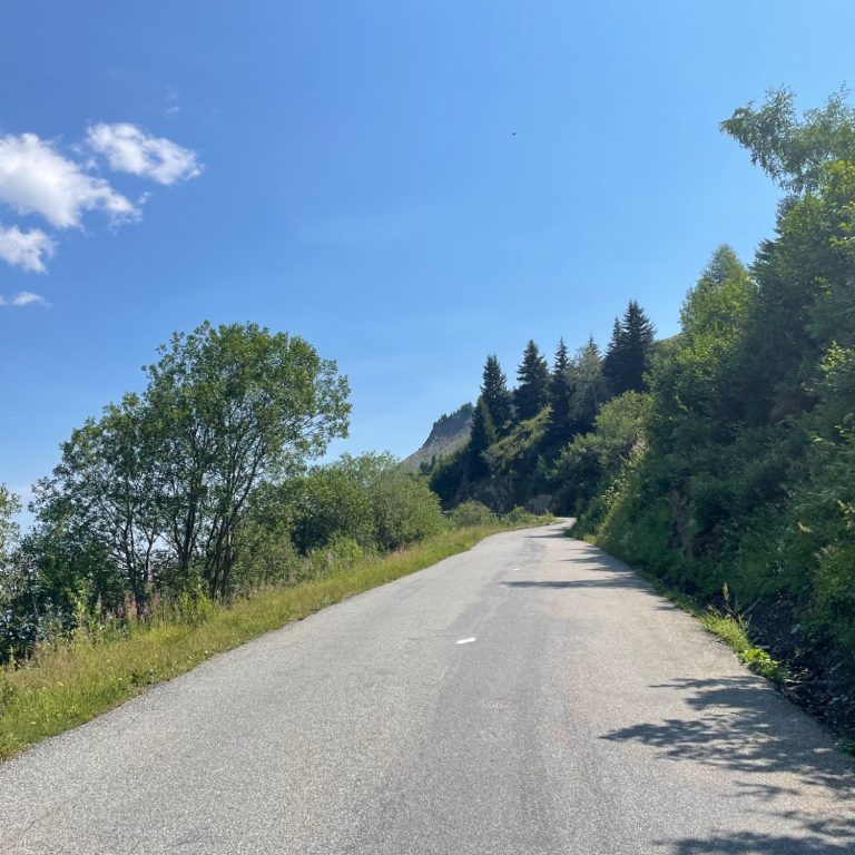
It is the final 3 km of this climb that really tighten the screw. The average gradient rises to 10%, gaining 300 m in elevation. By this point, the valley has come to an end and a steep “wall” up to the pass must be overcome.
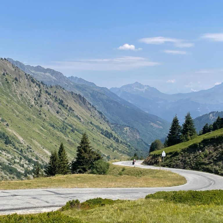
The road zigzags up the mountainside through six switchbacks and, given that you have already climbed around 1,200 m by this stage, these final bends are a true test of fitness. This is where weaknesses are quickly exposed.
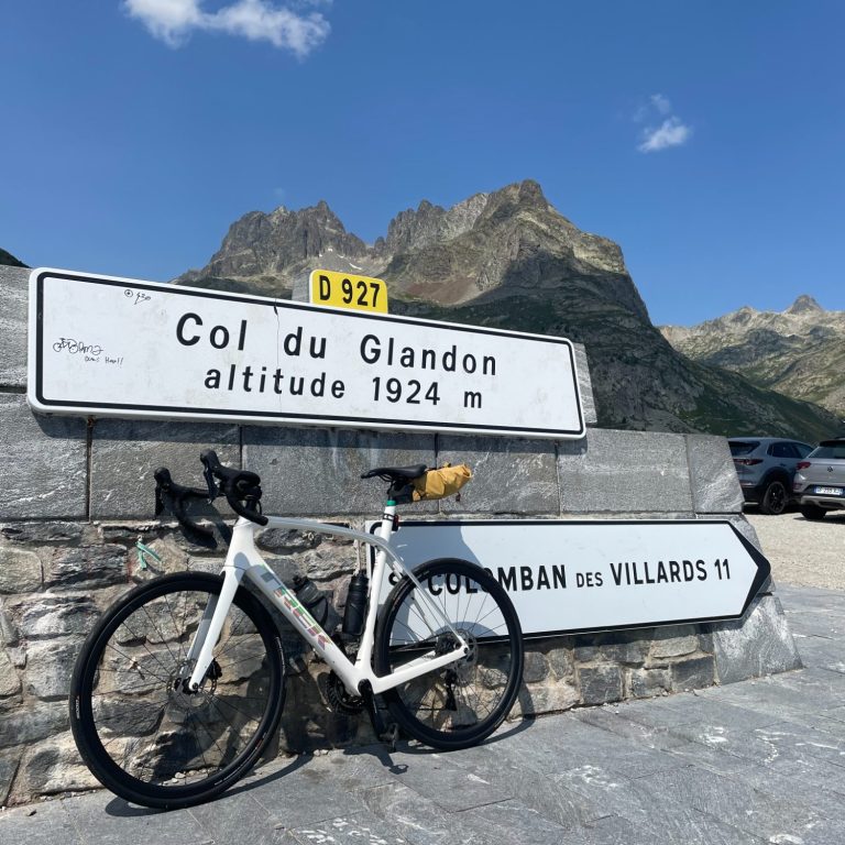
The summit arrives almost unannounced, marked only by a small hut and the traditional Savoyard pass signs. Views stretch out in both directions with the Mont Blanc visible on a good day.
About 200 m further down the road, at the junction with the route to the Col de la Croix de Fer, there is a mountain inn. Returning via the Col de la Croix de Fer is a popular option and offers one of the rare opportunities for a circular day ride in the French Alps.
Col du Glandon from La Chambre
Length: 20.9km
Altitude gain: 1475m
Max altitude: 1925m
Average gradient: 7%
Max gradient: 11.4%
Route Tip: A circular ride covering the Col du Glandon, a visit to the Lac Grande Maison and the Col de la Croix de Fer from Saint Jean de Maurienne is 75km long and 2,160 m of climbing. A rare opportunity of a circular ride in the French Alps.