Col de la Cayolle - France
The Col de la Cayolle is a climb in the Southern French Alps between the village of Saint Martin d'Entraunes in the Var Valley to the south and Barcelonnette in the Ubaye Valley to the north. It is a true gem of the Southern Alps.
Cycling the Col de la Cayolle feels like riding into a quieter, wilder corner of the French Alps—less famous than some giants, but deeply memorable. The route was an ancient, unpaved mule trail long before vehicle access existed. In 1894, French authorities decided to upgrade this rugged pack-animal route into a wide, fortified alpine road to ensure strategic military troop movements near the Italian border. This project was completed in July 1914, making it the first pass in the region transformed for vehicles
The climb sits on the border of the Mercantour National Park, and what strikes you first is the sense of space. The road is narrow, often empty, and carved into a vast alpine landscape that feels untouched. You’re not battling traffic here; you’re riding through silence, broken only by cowbells, marmots, and the wind.
From Barcelonnette, north side, the ascent is long but fair—around 27 km—with a gentle rhythm. The gradients are mostly manageable, rarely brutal, allowing you to settle into a steady tempo. Early on, you roll through open valley roads and alpine meadows before the scenery tightens into rocky slopes and high mountain drama. The final kilometers open up again, revealing wide views and a feeling of exposure as you approach the summit.
From Saint Martin d'Entraunes, south side, the climb is tougher and more irregular. It’s steeper, more demanding, and more remote. Forested sections give way to raw rock faces, and the road twists through narrow gorges before emerging into high alpine terrain. This side feels more serious, more “earned.”
The summit at 2,326 m sits on a vast mountain meadow and is a little understated —no cafés or fanfare— just a small sign, stone buildings, and an immense sense of calm. On a clear day, the views stretch endlessly across jagged peaks. Even in summer, the air can be cold, reminding you that this is a high pass. The descent is a reward: flowing, technical in places, and incredibly scenic. You feel far from civilization, immersed in mountains rather than passing through them.
Overall, the Col de la Cayolle is a beautiful rather than a brutal climb, either side.
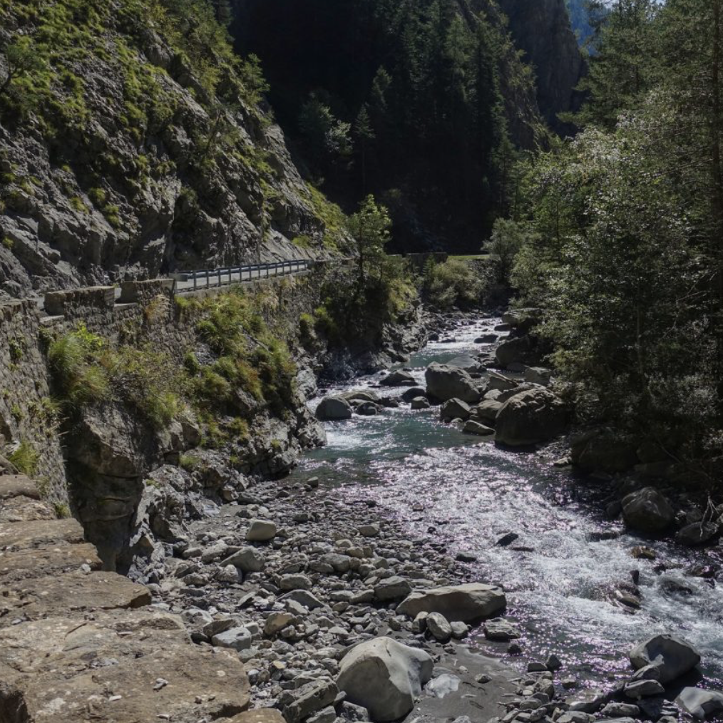
Col de la Cayolle 2,326m - Southern ascend from Saint Martin d'Entraunes
The southern climb to the Col de la Cayolle is around 20.3km long and climbs 1282m in altitude. This is a Cat 1 climb with an average gradient of 6.3%, only ticking up to 9.1% which makes this climb lovely to ride, almost the poster climb of the Southern Alps encapsulating these magical surroundings.
As we come from the south, the descent to Barcelonnette passes through the lovely and equally dramatic Gorges du Bachelard which is worth stopping for.
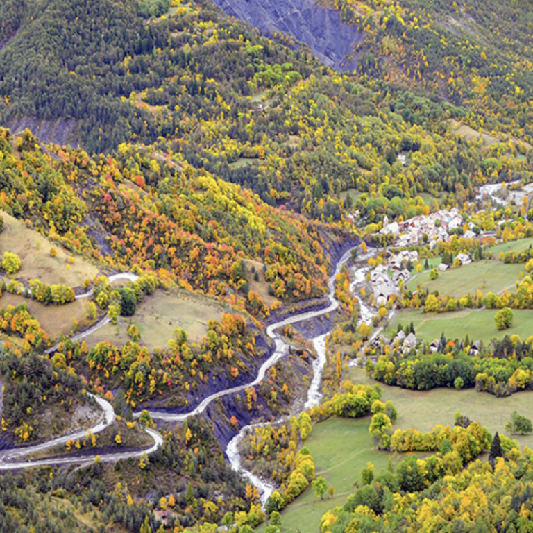
To Entraunes along the Var river
Gentle along the Var river, not quite at the valley floor but not far off. This section is 6.5km long and climbs 270m. The road rides along a densely wooded side of the valley but never gives the feeling that you are in a forest and offers views on the adjacent hills but is also exposed to the elements. The road effectively connects Saint Martin at 1045m altitude with Entraunes at 1254m altitude, this is also the populated part of the valley.
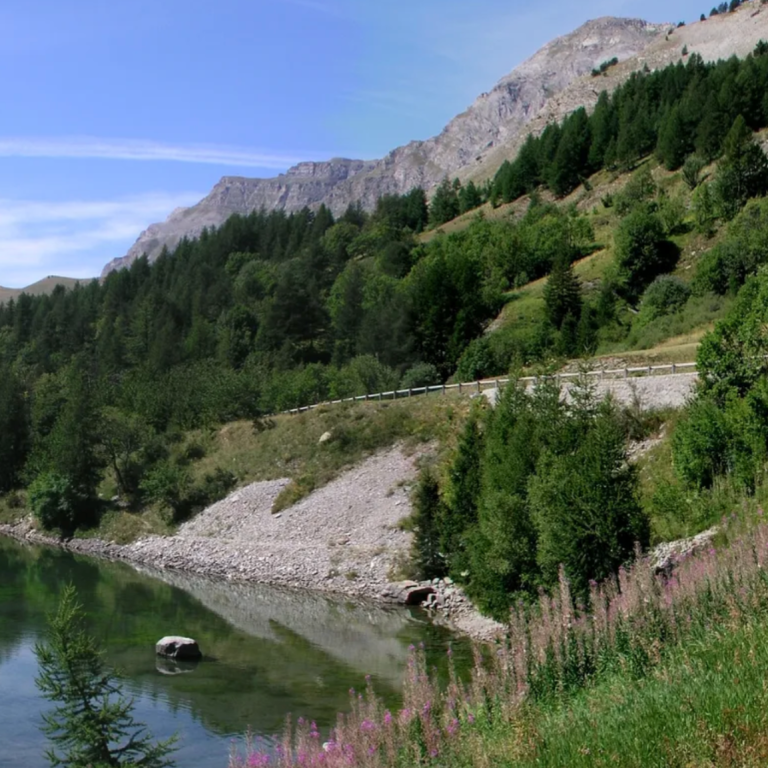
To Lac Estenc high above the Var river
Just outside of Entraunes, the road leaves the valley floor and starts to rise high above the Var river in a series of switchbacks. The D2202 rises 480m over 6.8km to the Lac Estenc at 1780m which is also the end point of the Var river and feels like a cork in the valley.
The scenery changes from sweet hillsides to rough cliff faces and starts to expose the higher mountains in the Mercantour national Park while still preserving the southern alpine charm. At the lake is a rest stop, the Relais de Cayolle which invites to take a breather.
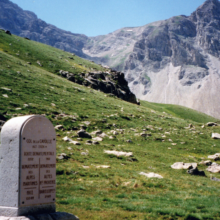
Switchbacks to the top at 2326m
The upper slopes are characterised by eight switchbacks which cover the rest of the way, 7.2km and 540m elevation gain, to the pass at 2326m. After the lake, the trees start to thin but stay with you till the last 3 switchbacks, providing the odd shelter while not obscuring the ever grander views. The road is steady and sweet. The switchbacks open up great views down the Var valley where you came from and also to the cliffs up ahead. Once you leave the trees behind, the upper slopes are truly mesmerising. The pass itself sits on a high alpine meadow but won't come into view till you have virtually arrived.
Col de la Cayolle from Saint Martin d'Entraunes
Length: 20.3km
Altitude gain: 1171m
Max altitude: 2326m
Average gradient: 6.3%
Max gradient: 9.2%
Route Tip: A double ascent of the Col de la Cayolle is around 100km and 2620m elevation gain. This is challenging but a doable ride. A slightly shorter ride from Saint Martin d'Entraunes could combine an ascend of the Col de la Cayolle and the Col de Champs. Some very committed folk ride all three passes, Col de la Cayolle, Col d'Allos and Col de Champs in one day which is 120km and 3400m climbing.