Col de Turini - France
The Col de Turini is the premier climb in the Alpes-Maritimes, showcasing the unique flora and scenery of the Alps as they drop into the Mediterranean Sea
The Col de Turini has evolved over time from a military pass into a cycling and motorsport icon.
Connecting the Mediterranean coast with the interior of the Alpes-Maritimes, the Col de Turini (1,607 m) has developed from a strategic mountain passage into one of France’s most famous roads. Originally a mule trail linking Nice, Piedmont and the upper valleys, the pass later gained military importance. Nearby, the Authion massif saw heavy fighting during World War II, and fortifications, bunkers and monuments are still visible today.
In the 1960s, the Turini became internationally famous through the Rallye Monte-Carlo. Its legendary “Nuit de Turini” featured drivers tackling tight hairpins, ice and darkness, often surrounded by thousands of spectators.
The Col de Turini also has a long, though relatively understated, history in professional cycling. It first appeared in the Tour de France in 1948, when Louison Bobet was first over the summit. It returned in 1950 and 1973, before disappearing from the Tour for several decades and making a comeback in 2020 and 2024.
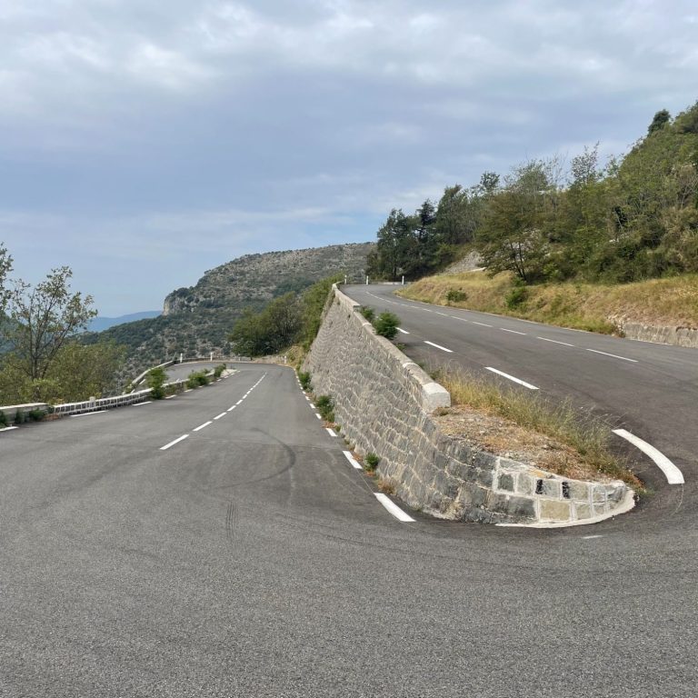
For cyclists, the Turini is particularly attractive because of its long, steep climbs, numerous hairpins and spectacular mountain scenery. It has become one of the most renowned climbs in the Maritime Alps and around Nice. The classic ascent is from Sospel to the south, but the pass can also be climbed from the north via La Bollène-Vésubie, which is steeper and features its famous switchbacks, or from Lucéram to the southeast, via an exceptionally twisty road.
Col de Turini – 1,607 m - Souther ascent from Sospel
From Sospel in the south, the climb to the Col de Turini is 24.9 km long, with an elevation gain of 1,480 m with an elevation loss of 230 m en route. The pass can easily be reached from Nice by first crossing the Col de Nice and the Col de Braus.
The charm of the road lies in its changing landscape. The first half winds through a beautiful canyon surrounded by typical Provençal shrubs and trees, before gradually transitioning into deep alpine pine forests towards the summit. The landscape is a true reflection of the Alpes-Maritimes. You ride this road not for the expansive mountain vistas found at the higher passes further north, but for its distinctly Provençal character and charm.
The climb starts gently, eases off briefly, and then tightens in the final kilometre. Combined with the summer heat, this can make it an exceptionally demanding ascent. On the plus side, traffic is very light, creating a wonderful sense of solitude despite the pass being so close to the busy Côte d’Azur.
The descent towards Lucéram to the southeast, via the D21, is wonderfully twisty and exhilarating—an exhilarating stretch of road that is guaranteed to put a big smile on your face.
As with all major climbs, the ascent can be divided into distinct sections.
Gentle start from Sospel
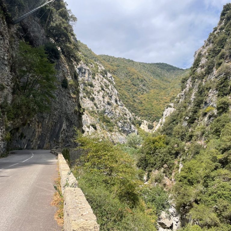
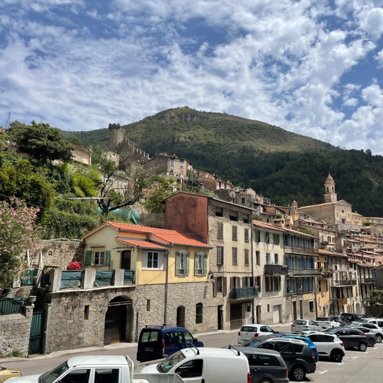
The first section of this lovely climb is 12.9 km long, gaining 600 m. The road out of Sospel is gentle at first, before entering a beautiful gorge along the La Bévéra stream after passing through a short forested section. The landscape is quintessentially Provençal.
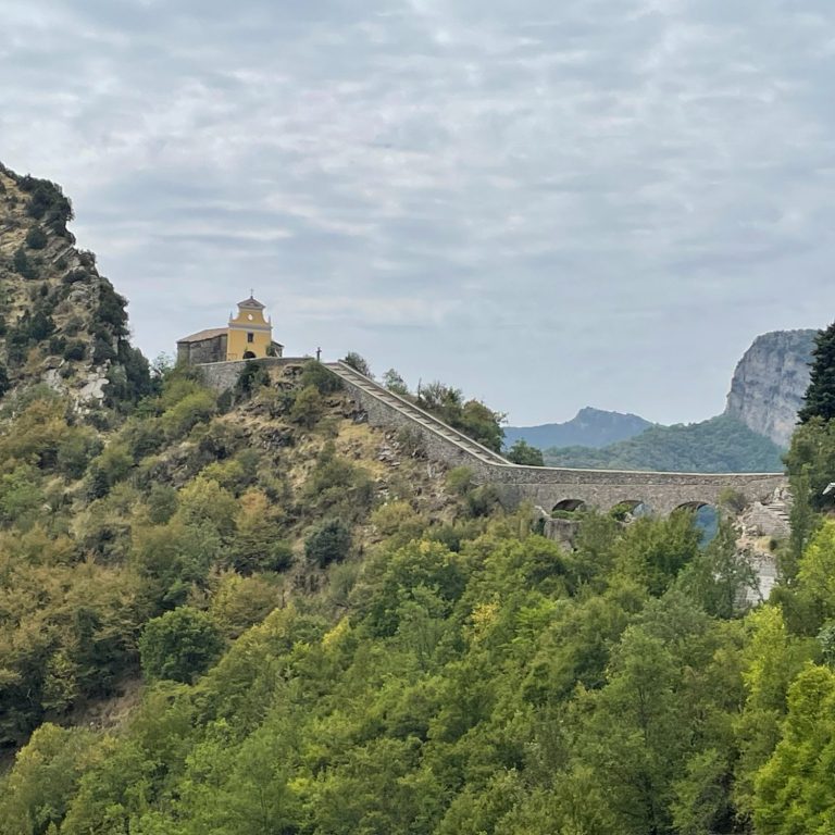
The road rises along the left-hand side of the gorge, clinging closely to the rock face as it twists its way high above the river. The views are spectacular, and the Chapelle Notre-Dame de la Menour, perched dramatically on a cliff at the end of the gorge, gradually comes into view.
This is the magical part of the ride. After passing the chapel, the road flattens out and becomes a beautiful, tree-lined avenue as you approach Moulinet.
This is where the loveliness ends.
Into the woods
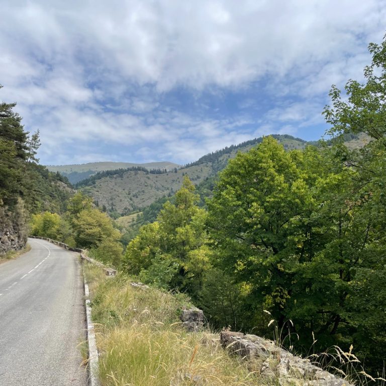
The middle section of this climb is a little bit of a grind. Moulinet is a sleepy village, and while there are a few places to get food, I would not rely on them being open. Fueling up in Sospel is therefore a must.
The next 6.3 km gain 400 m, at an average gradient increases to around 6.3%. The forest becomes dense and enclosed, while the climb is broken up by several false flats and gentle descents. This makes the section relatively easy to ride, but it remains something of a grind nonetheless.
Final push through lovely switchbacks
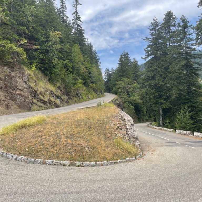
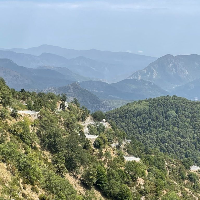
The final 5.6 km climb 480 m, with an average gradient of 8.5%, really tightens the screw. Through eight switchbacks, the road pulls you steadily towards the summit. The forest breaks occasionally, offering great views over the valley and glimpses of the high mountains to the north.
The switchbacks and road markers provide useful motivation, as by this stage the climb can become as much a test of will as of physical strength. The relative lack of views and the enclosure of the dense pine forest do not provide the same inspiration as the towering mountains found on higher Alpine passes. The switchbacks are beautiful, though, and once you settle into a rhythm, the final kilometres begin to feel more manageable.
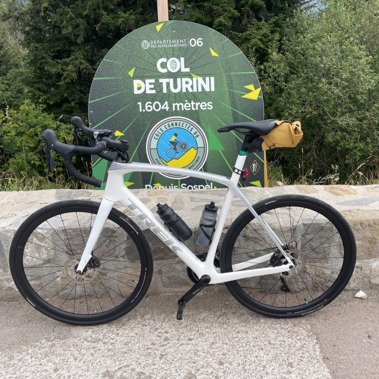
Once you reach the pass, it feels more like a broad saddle than a traditional mountain summit, as it also serves as the base for a small ski area. It is a great place to refuel, take a break and enjoy the views, while watching the steady comings and goings of bikers and hikers.
Col de Braus - 1,002m
The Col de Braus, from L’Escarène, is 10 km long, gaining 642 m at an average gradient of 6.2%. It forms part of a great cycling loop that also includes the Col de Turini, and the two passes are often ridden in succession. It is also a perfect example of the kind of climb found throughout the Alpes-Maritimes, where numerous mountain roads and passes can be linked together to create incredible rides.
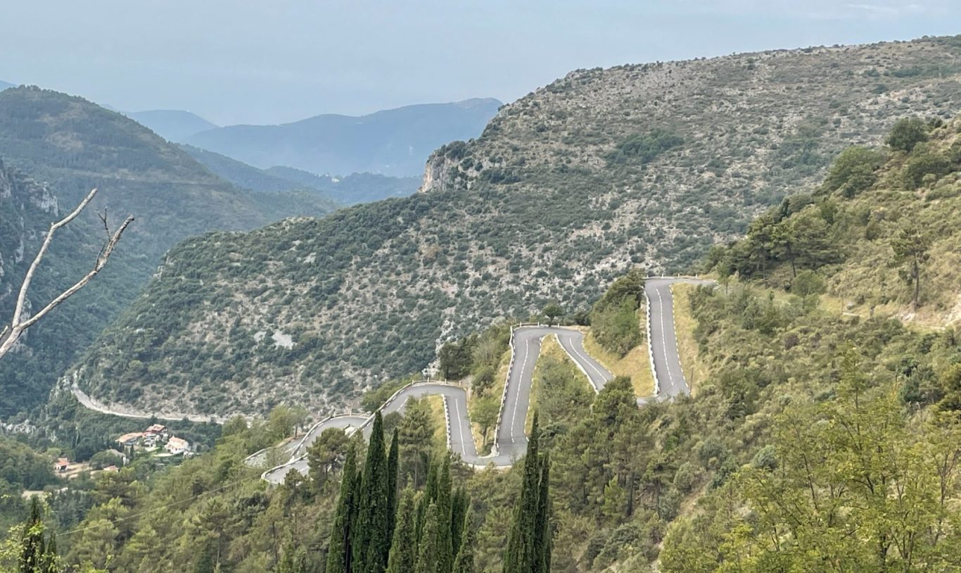
The Col de Braus is famous primarily for its cycling history and spectacular hairpin bends. At 1,002 metres, it connects L’Escarène with Sospel and has long been one of the historic mountain crossings of the Alpes-Maritimes.
Its cycling reputation dates back to the Tour de France, which first crossed the pass in 1911. It became a regular feature of the race and was crossed 27 times between 1911 and 1961, before returning to the route in 2024.
The road itself is wonderful. Starting in L’Escarène, it follows a narrow valley, typical of the area, before reaching the famous series of tightly stacked switchbacks. From there, the road sweeps through a long right-hand bend towards the pass. The descent to Sospel is a wonderfully flowing stretch of road and a real pleasure to ride.
Regardless of which direction you ride it, the Col de Braus is a true gem of the Alpes-Maritimes.
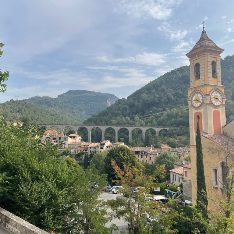
Col de Turini from Sospel
Length: 24.1km
Altitude gain: 1244m
Max altitude: 1604m
Average gradient: 5.2%
Max gradient: 11.4%
Col de Turini from La Bollène-Vésubie
Length: 15.2km
Altitude gain: 1101m
Max altitude: 1604 m
Average gradient: 7.9%
Max gradient: 12%
Col de Braus from L'Escarene
Length: 10km
Altitude gain: 642m
Max altitude: 1006m
Average gradient: 7.2%
Max gradient: 17.4%
Route Tip: Staring just north of Nice, the Col d the Turini can be riden via the Col de Nice and the Col de Brause which forms are great loop ride via the the incredible D21 to the lovely village of Luceram. This is possibly the best exposition of the Alpes Maritimes, about 90km long and 2,590m climbing. Check the route out here.